Sha’ar Week 5 Recap

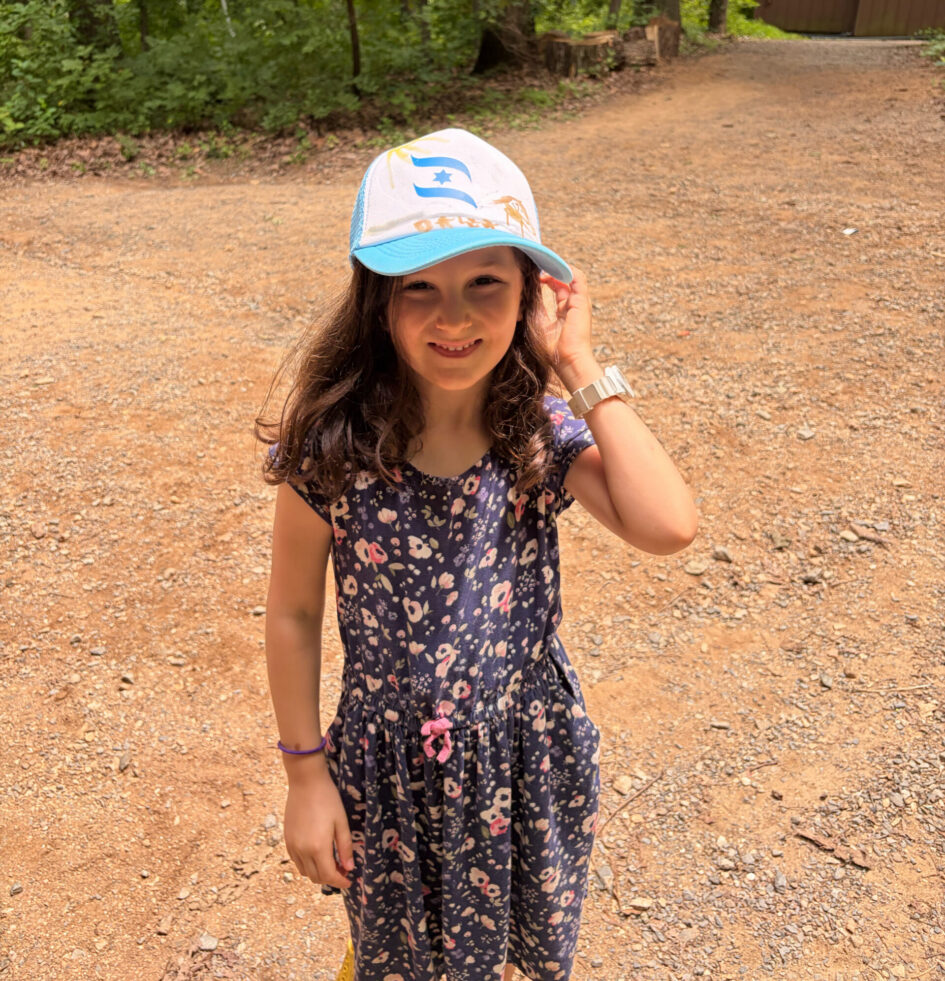
This week was an especially exciting one in Sha’ar as we celebrated Shavua Yisrael (שבוע ישראל – Israel Week)! Throughout the week, the chanichim (חניכים) explored Israel through songs, games, science, and hands-on activities. We sang Eretz Yisrael Sheli (ארץ ישראל שלי), a song about the growth of Israel and the importance of working together to build a community. We also studied a map (מפה – mapah) of Israel, identifying major cities such as Yerushalayim (ירושלים) and Tel Aviv (תל אביב), as well as its diverse landscapes, including the Mediterranean Sea (ים התיכון – Yam HaTichon), the Dead Sea (ים המלח – Yam HaMelach), the mountainous north (צפון – tzafon), and the Negev Desert (מדבר הנגב – Midbar HaNegev) in the south (דרום – darom). The chanichim were especially excited to discover where their counselors live in Israel!
One of the highlights of the week was our Israel-themed escape room. The campers worked together as a kvutzah (קבוצה – group) to complete a series of missions in order to unlock the code to the mercaz. One challenge involved searching for hidden Israeli flags (דגלים – degalim) throughout the area. Several of the flags contained Hebrew letters that, when unscrambled, spelled Yisrael (ישראל)!
The chanichim also learned about the Kotel (הכותל – Western Wall) and worked together to build the tallest wall they could using popsicle sticks and playdough. It was amazing to see the impressive structures they created in just three minutes (שלוש דקות – shalosh dakot)!
Later in the week, we explored the Dead Sea (ים המלח – Yam HaMelach) and learned about its incredibly salty (מלוח – maluach) water. The campers conducted a sink-or-float experiment, making predictions about whether different objects would sink (לשקוע – lishkoa) or float (לצוף – latsuf). They loved testing their hypotheses and observing the results!
To conclude our week, we learned more about Israel’s topography and geography. Using a map (מפה – mapah) of Israel, we identified where the mountains (הרים – harim), desert (מדבר – midbar), forests (יערות – ye’arot), and water (מים – mayim) are located. The chanichim then created tactile maps by gluing different materials onto their maps to represent each type of landscape.
The chanichim had a wonderful time celebrating Israel, and we can’t wait for another fun-filled week at camp!
Shabbat Shalom! (שבת שלום)